 by Peter Illés on January 25th, 2026
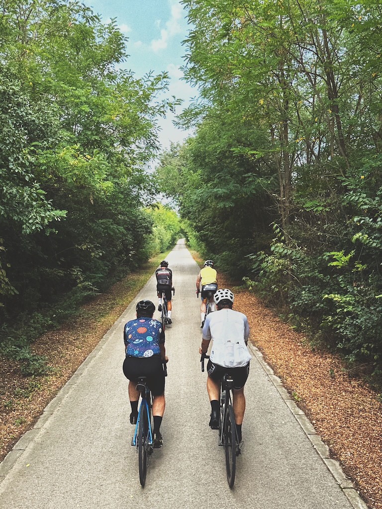
There’s a feeling you get in rural Romania that I’ve never quite been able to describe. You roll out of a village just after breakfast. Old men on benches who will nod at you like they’ve known you forever. You find yourself crawling behind a few cows heading out to pasture, while the dogs are still deciding whether you’re worth the effort of a chase.
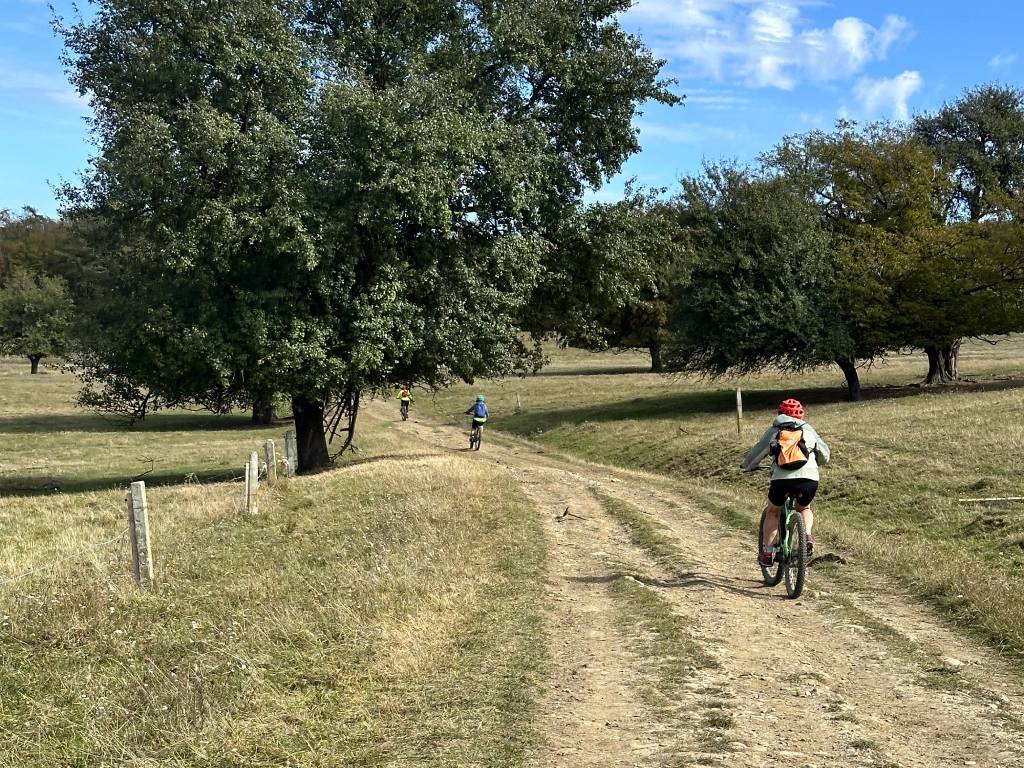
Then the houses thin out, the asphalt turns to hardpack, and suddenly it’s just you, endless wildflower meadows, century-old forests, and the soothing sound of gravel crunching beneath your tires.
Via Transilvanica taps into that feeling. It’s a route that was built for people to move slowly through the landscape. You can feel that in the choices it makes. It keeps pulling you away from the obvious roads and into the quieter Romania. Sometimes it’s smooth and fast. Sometimes it’s rough, steep, and a bit stubborn. Exactly the way I like it.
What is the Via Transilvanica?
Via Transilvanica is Romania’s premier long-distance route, stretching over 1 400 kms from Putna in the north down to Drobeta-Turnu Severin on the Danube. It’s designed for hiking and cycling, and it’s primarily meant to be ridden in chunks, rather than end-to-end.
The route was put together by Tășuleasa Social, an NGO based on a campus right along the track above Piatra Fântânele. At the heart of the project are two brothers, Alin and Tibi Ușeriu, and it’s Tibi who has the wilder story.
His life has had as many highs and lows as the route itself. Sent to prison for armed robbery, he escaped twice, but still spent ten years behind bars. When he finally got out, he found a sense of calm through Tășuleasa Social and devoted himself to social and environmental work.
In 2016, he set off for the world’s toughest endurance race, the 6633 Arctic Ultra, hoping to be a role model for the NGO’s volunteers. He didn’t just manage that, he won the race, then came back and won it two more times.
For me, his story encompasses Via Transilvanica’s mission perfectly: “People have always needed stories that give meaning to life. The main purpose of this journey is to discover new characters, stories, and of course places, which can enrich and heal the soul and mind of the traveler.”
Work on the Via Transilvanica started in 2018, and it took four years to finish the trail signage and to place the andesite route markers. It’s easy to talk about VT as a line on a map. It’s really a people project: it took 10,000 volunteers to make it happen. Funding-wise, the organizers have consistently framed it as a privately backed project, built through donations, sponsorships, and tax redirections, with supporters basically “adopting” the idea long before it became famous.
How this guide is structured
In this post I’m treating Via Transilvanica the way I wrote my EuroVelo route reports. We’ll go region by region, with each section getting the same cyclist-focused notes: a road report, easier alternatives if you want to avoid hard climbs, rough surfaces or push-bike, and the highlights that are worth slowing down for.
The lands of Via Transilvanica
One of the coolest things about Via Transilvanica is that it feels like a story you’re riding through. The regions are already there, which makes planning it as a cycling itinerary almost too easy.
The original route is split into seven “lands”, each with its own rhythm and personality: Bucovina, The Highland Region, Terra Siculorum, Terra Saxonum, Terra Dacica, Terra Banatica, and Terra Romana. And because the trail is evolving, there’s now an official extension too: Terra Borza Teutonica, a newer “side land” that links into the Via Transilvanica network via the Brașov area.
Bucovina
Bucovina is the opening “land” where Via Transilvanica shows its real character. You start at Putna Monastery in a quiet, almost ceremonial mood, then the route pulls you into the Obcine hills through spruce forest and high meadows. On a bike, this is the “earn it” region. Steep climbs and rough tracks, and a bit of rain can turn the whole day into a slow, muddy slog. If you’re comfortable here, the rest of Via Transilvanica feels a lot more forgiving.
The Highland Region / Ținutul de Sus
The Highland Region runs for 199 km, with alternate options that add roughly another 70 km. After Bucovina’s tough opener, this is where you can find your cadence a bit easier. It’s also a key chapter in the Via Transilvanica story because you pass right by Piatra Fântânele, home base for Tășuleasa Social, where the whole project was stitched together.
Terra Siculorum
Terra Siculorum is the Latin name for Szeklerland, home to the Hungarian-speaking Székely (Szekler) community. You roll in and suddenly the signs, the carved gates, the village rhythm, even the food that ends up on your plate, feels different. The Via Transilvanica crosses about 157 km here, linking Székely villages all the way to Archita. It’s a chapter where the route’s storytelling structure really works, because the shift from the previous region is immediate and obvious.
Terra Saxonum
Terra Saxonum is the region where the route shifts culture again, into the old Saxon world of fortified churches and medieval citadels. It’s where the Via Transilvanica idea really clicks: you’re not chasing one big sight, you’re riding a chain of places that share the same Saxon backbone.
Terra Borza Teutonica
Terra Borza Teutonica is the first official extension of the route, branching off from Terra Saxonum and pulling you toward Brașov, which the project frames as a “gateway” into the heart of Via Transilvanica. The name nods to Țara Bârsei (Burzenland) and its medieval Teutonic origins. You’re back in the shadow of high mountains here, and the views toward the Piatra Craiului range are reason enough to take this “side quest”.
Terra Dacica
Terra Dacica is where the route leans hard into Romania’s deeper roots. It spans about 290 km across Alba and Hunedoara counties, and it passes major historical anchors like Alba Iulia and Sarmizegetusa Regia that shaped the Dacian and Roman origin stories of the country. You’ll touch around 1,300 m in places, and Retezat National Park keeps showing up as the backdrop as you work south.
Terra Banatica
Terra Banatica is 232 km of the route’s quieter side, and it feels like a reset after the denser historic regions. You’re riding through valley regions with fewer obvious sights, but a lot of atmosphere. The nature is great, but Banat’s real magic is the human layer: a mix of communities, local speech you don’t hear elsewhere, and a straightforward, no-fuss hospitality.
Terra Romana
Terra Romana is the finale. The last 140 km leave the mountains behind and run through the southern end of Caraș-Severin and into Mehedinți County, a region the guide calls out for its unique Mediterranean climate. Then you roll into Drobeta-Turnu Severin and finally meet the Danube, with the finish at the remains of Trajan’s Bridge acting as a neat historical full stop.
Dive into the regions
Via Transilvanica is about different lands with different tempos, different cultures, and different kinds of effort. Some regions ask you to slow down because the surface demands it. Others slow you down because you keep stopping, usually for food, a chat, or a place of outstanding historical and cultural significance.
This post is here to help you choose your own version of the story. If you’ve only got a week, pick the chapter that fits your riding style and the season, then ride it well. If you’re dreaming of the full route, use the region posts to find out more about each chapter. If you would rather ride it guided, we run the Via Transilvanica as a custom private tour, and our Saxon Heritage Trail gravel tour rides the Terra Saxonum section of it.
- Bucovina
- The Highland Region
- Terra Siculorum
- Terra Saxonum
- Terra Borza Teutonicum
- Terra Dacica
- Terra Banatica
- Terra Romana