 by Peter Illés on May 3rd, 2023
Timișoara is my hometown, but I mostly used my bike for commuting when I still lived there, so I never really explored the surrounding area by bike. My passion for cyclo touring started a couple of years later.
During this time, the cycling infrastructure around the city also improved. So now, whenever I visit, I always try to go out for a ride and uncover another route. Here are my top 5 so far.
#1 Timișoara -> Serbian Border
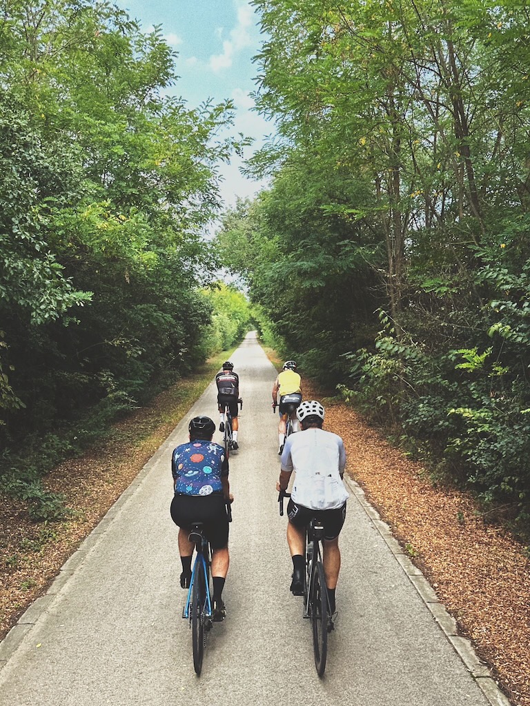
The most popular cycling route near Timișoara is this 40 km long route that takes you down to the Serbian border. It is the most popular because... well, it’s the only one. The only one with properly separated bike lanes, that is. However, it is also well-liked because of the accessible terrain and the many cafés and bars along the way, especially closer to the city. La Căpițe and Livada Bănățeană are the crowd favorites.
The route takes you southwest along the banks of the Bega River. For me, personally, it gets quite dull halfway through. The first part at least has a couple of bridges and sluices on the river, but after that, it’s just the river on your left and endless fields on your right. As you can’t cross the border anyway, I’d argue it’s not worth going past Uivar.
Instead, to make it more interesting, take a detour towards Bobda on your way back. This village used to belong to the Csávossy family, who built a huge church to act as their mausoleum.
Total distance: 80 kms (round-trip), 90kms with detour
Elevation: 60 m
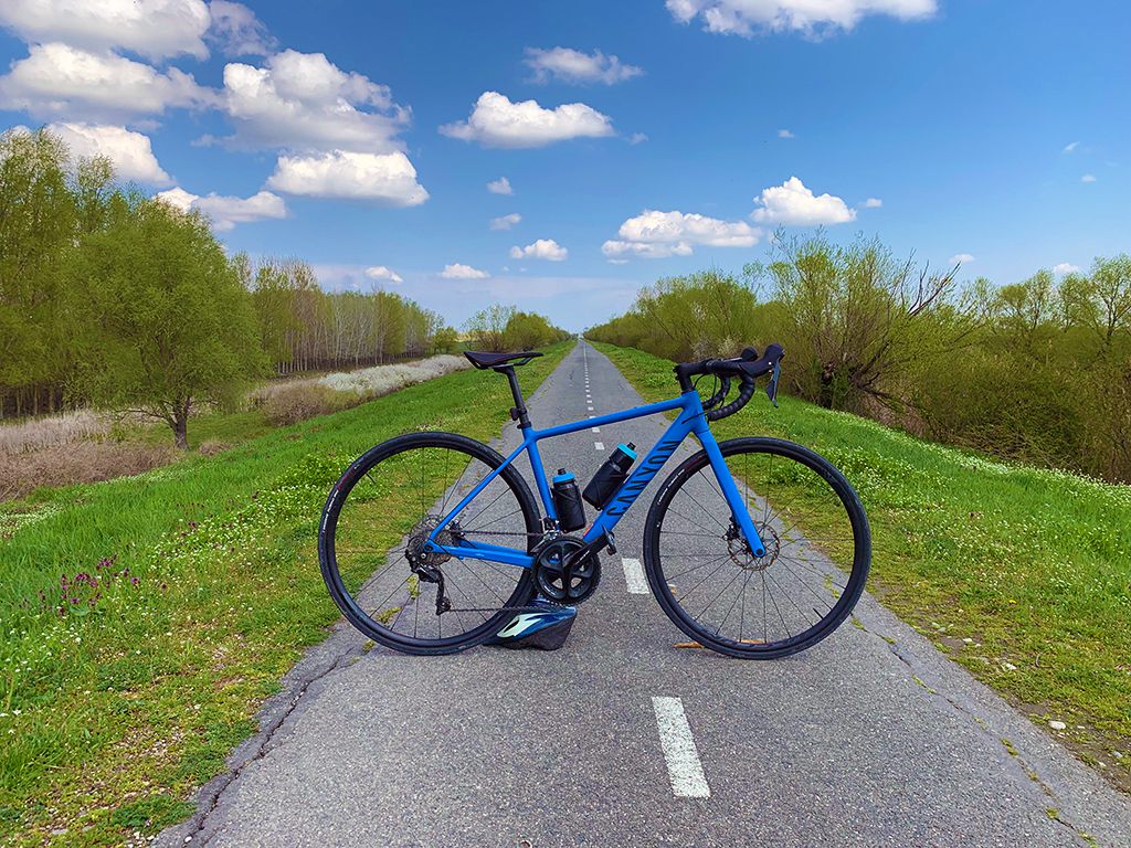
The bike path from Timișoara to the Serbian border, along the Bega river.
#2 Timișoara -> Bazoșu Nou
Just as easy as the first route, and much shorter, is heading out the other direction and following the Bega River to the east. This route is less popular because the bike paths are not interconnected, and you have to use public roads in some parts, although most have little traffic.
This route will take you to Bazoșu Nou, a village famed for its Dendrological Park, a fancy name for a botanical garden. The park was established by Count Ambrozy, the former ambassador of the Austro-Hungarian Empire to the US. He populated the forest belonging to his estate with many species he brought home from across the ocean.
Total distance: 42 kms (round-trip)
Elevation: 50 m
#3 Timișoara -> Satchinez
If you are looking for something more challenging, go north until Satchinez. The best place to start is at the Banat Village Museum. From here, you pass by the forest (or, alternatively, through it on dirt roads) and across the satellite town of Dumbrăvița.
Once you escape the city, you’ll follow quiet backroads until your destination. However, some parts of this route are on unpaved roads, which can be unsuitable for road bikes. You should be okay on any tire wider than 32mm.
Here, you will find the Satchinez Nature Reserve, a swampy area home to many endemic bird species. Over 40% of the birds found on the territory of Romania can be found here.
Total distance: 80 kms (round-trip)
Elevation: 160 m
#4 Lipova hills loop
Taking it up another notch this time. This time we’ll start in Recaș and make a clockwise loop of the Lipova hills. Starting north, you’ll first pass the Recaș Winery and reach the recreational area in Herneacova. Turn right where the tarmac road ends end follow the dirt road to the abandoned village of Nadăș.
Nadăș used to be a lively village in the 1920s but has become depopulated thanks to the urbanisation efforts of the communist regime. Only a single family remained to tell the story. You can snap some lovely photos of the church nestled on top of a small hill.
Turn north, and over a steep climb, you’ll arrive in Buzad and then Charlottenburg. The latter is the only circular village in Banat and is protected as a national monument. Legend has it that a German fighter pilot made a landing here during World War II because he became fascinated by the circular shape of the village.
From here, turn southeast and follow the valley until Comeat. There’s another climb and 7 kms of dirt road here until Hodoș. Turn west after Lucareț and follow the B-roads through Cralovăț and Petrovaselo back to your starting point.
Total distance: 60 kms
Elevation: 620 m
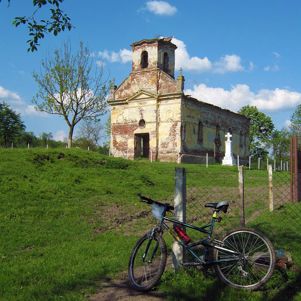
Church in the abandoned village of Nadăș.
#5 Poiana Ruscă loop
You could call this the queen stage of cycling in Banat. The Poiana Ruscă is the highest mountain range in the region, and this gravel route takes you through the heart of it.
The route starts on the shores of Lake Surduc, which is an artificial lake providing water to nearby Lugoj city. It doesn’t take long until you find yourself on the gravel roads that take you through the dense forests of the Poiana Ruscă.
After 22 kms of forest roads and a lot of climbing, you’ll find yourself in the mining town of Nădrag. It was once a booming industrial town, but most of the factories were closed after the revolution of 1989. I still managed to visit the ironworks once as a kid, though. A fantastic, quiet B-road will take you back to your starting point in Fârdea.
Total distance: 46 kms
Elevation: 950 m